Basics - Layer Symbology and Scale Range |
|
|
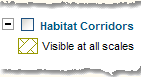
To show/hide the layer's image symbol/theme (for a layer having a checkbox), and visible scale range, click on the
Clicking on the
The scale range is the maximum and minimum scale at which a layer will be displayed in the map window. The map's current display scale is displayed in the mapping window's status bar.
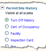
To show/hide the layer's radio choices and view scale, click on the
Clicking on the
|